4 Powder House
For a high resolution PDF map:
Size: 129 acres
Access: The main access point into this conservation area is behind the Bolton Town Hall at 663 Main Street. Parking in the rear lot is available for walkers. Trail access is also available at the corner of Golden Run Road and Sugar Road but there is no parking. Another access point is at the beginning of Quail Run Road.
In addition, trails from the Town Common Parking area lead to Powder House Hill and the First Parish Church.
Description: Behind the Town Hall the wooded hillside provides a good climb to the Powder House building via the marked trail which has a steep section near the summit. Access is also possible via the Ronald w. Evans Memorial Trail from behind the Church.
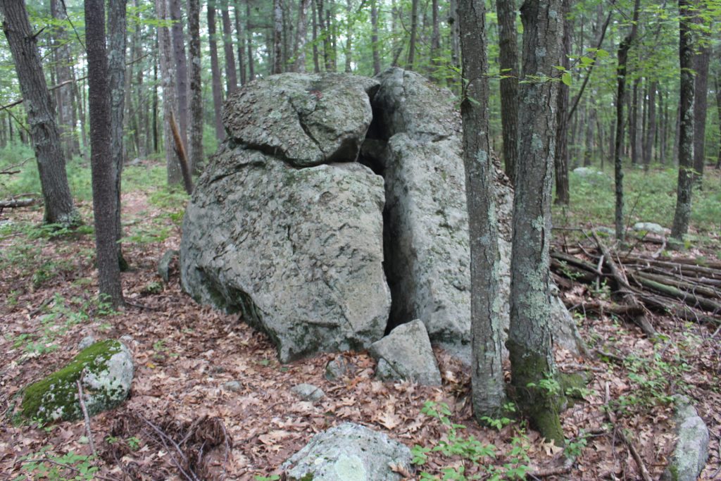
The Powder House, built for storage of ammunition was constructed in 1812 and sits above Town Hall. Ledge and boulder outcrops make the hike up to the Powder House interesting. Beyond the building, the path joins a trail along the hill that eventually leads to Quail Run Road.
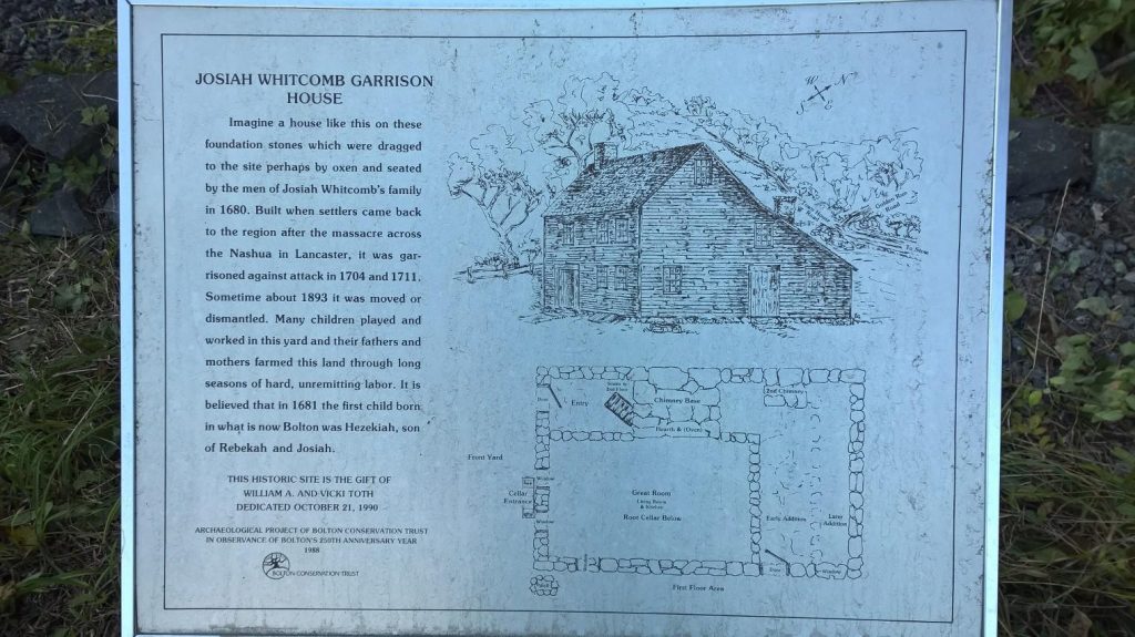
The Old Town House Road adjacent to the Town Hall leads to the Garrison House site with side paths that connect to the Quail Run Road trail.
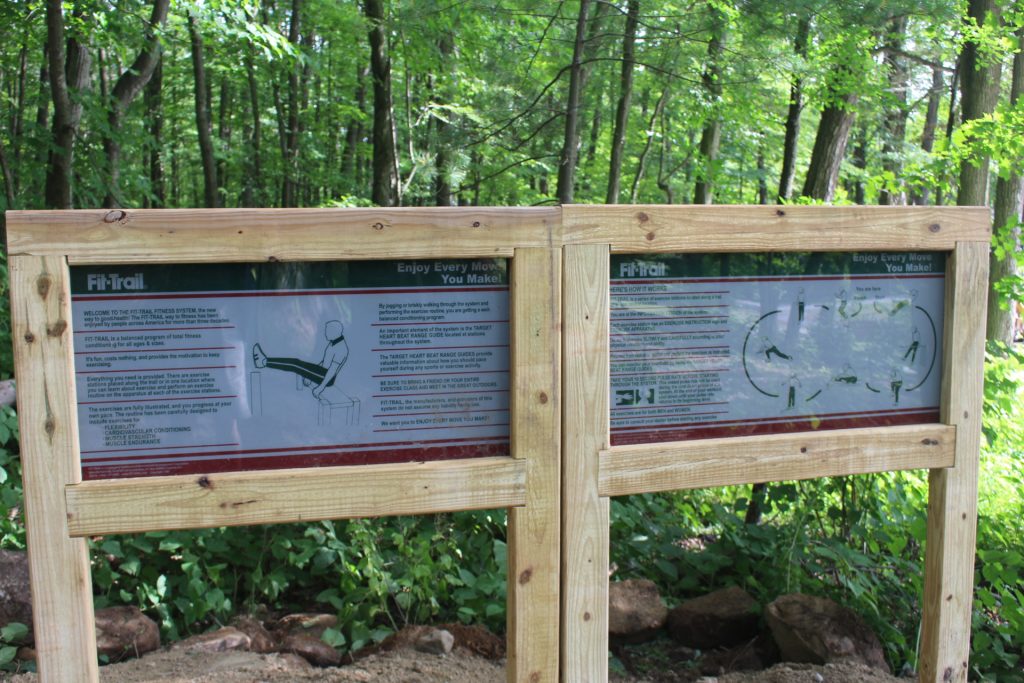
The Town Common area has pavilions, benches, a fitness trail, and opportunities to play with outdoor musical instruments.