6 Rattlesnake
For a high resolution PDF map:
Size: 438 acres
Access: There are several points of access to this Conservation Area.
Via the Lime Kiln entrance which is located on Route 117, approximately 1.5 miles east of Route 495. A gravel parking lot is on the north side of 117 (Main Street) just before a brown fence. If you reach Bolton Spring Farms you’ve gone to far.
Parking can also be found on Old Sugar Road, which is off Sugar Road east of the bridge of Route 495. A trail is about 500 feet down on the left of Old Sugar Road.
Harris Farm Road, off Sugar Road. At the Harris Farm Road cul-de-sac, go up the common driveway to the right of the leftmost house and enter near the Bolton Conservation sign. Do not park on the private driveway.
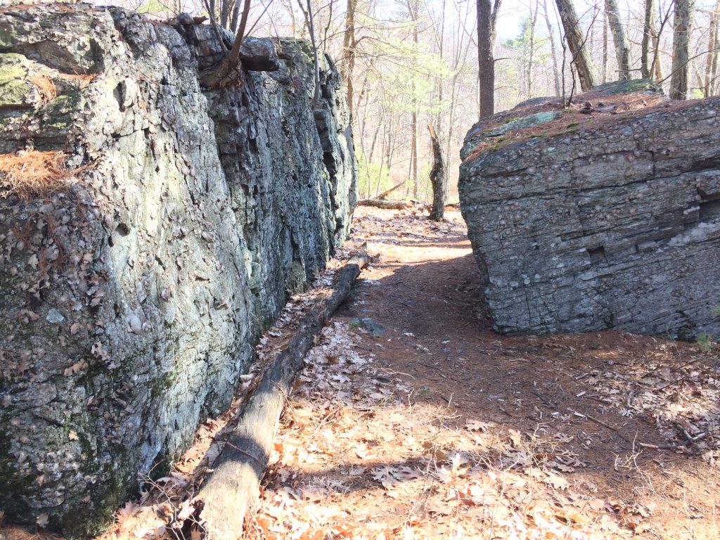
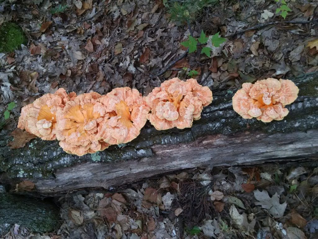
Description: The area is comprised of wooded hillsides dotted with boulder outcrops and vernal pools. A large network of trails, including wide cart paths, traverses the hillside. An Interpretative Trail is found off the Main Street (117) entrance. This 1.3-mile trail, known as the Bob Horton Memorial Trail, provides information on botany, geology, history and early industry.
Bob Horton Trail Map and Wild_Flower_Walk
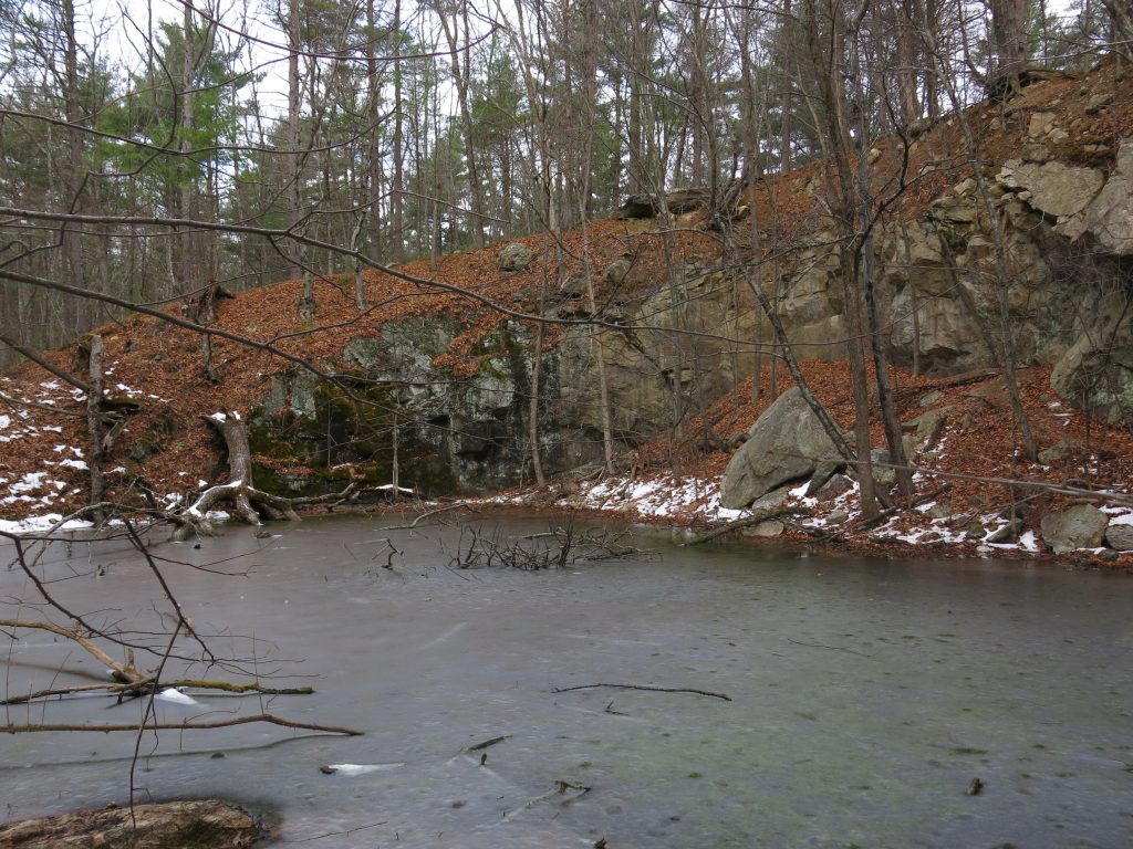
The area also includes several places of industrial activity in earlier times such as the Lime Kiln and Quarry. A recent addition has been access to the site of Benjamin Sawyer’s grist mill. Industrial activity also occurred close to the first bridge encountered when entering the areas from the Main Street entrance. This was the site of Philo Clapp’s pump log mill.
Philo Clapp Pump Log Mill description