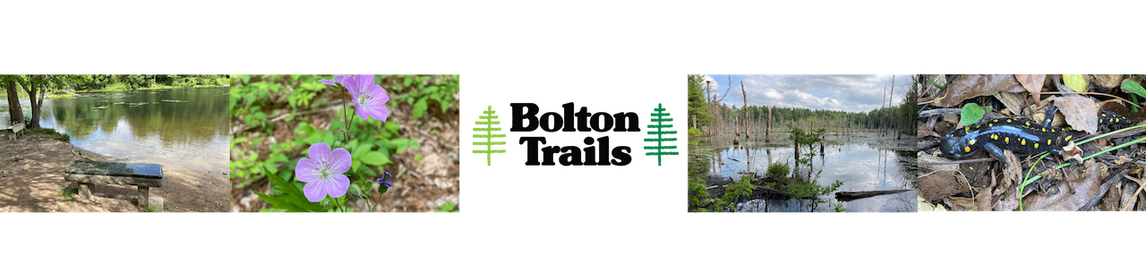
9 Danforth Brook and Keyes Farm
For a high resolution PDF map:
Size: 108 Acres
Access: For the Danforth Brook area, there is a small, paved parking area on the left hand side (next to the guard rail). Use GPS address 29 Danforth Lane. The trail starts just behind the parking area – look for the yellow triangle markers.
For the Keyes farm area, there is a small parking lot on the left hand side of Hudson Road southbound a short distance before the Keyes Farm housing development.
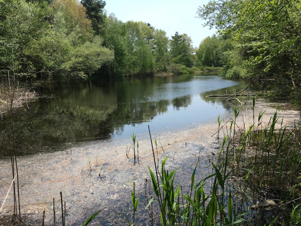
Description: The Danforth 83-acre conservation area was acquired by the town in 2000 as part of the Danforth Brook residential development project. Now owned by the town of Bolton, Danforth provides interestingly varied terrain and habitat to its visitors. The trail starts directly behind the two car parking area and continues adjacent to the pond. An open view from the bridge located at the pond’s northern edge is noteworthy as well as this property’s grid-like stone walls. A gas pipeline easement exists through this conservation area, from which two paths lead to the top of Barretts Hill. Several loop trail walks are possible in Danforth, leading out to a somewhat hidden trail head east of start point at the Danforth Lane cul-de-sac. A short road walk, past the southern edge of the pond brings you back to trail head parking area. Trails in this property can be rocky and require agility. The trail was improved and marked by Eagle Scout Peter Scott in 2013.
The Keyes Farm loop was added in 2019 in association with the nearby housing development. It crosses the same gas pipeline as the Danforth trail system in two places, but further to the northwest.