12 Welch Pond
For a high resolution PDF map with photos visit
Size: 15 acres
Access: Parking for several cars in front of conservation sign off Wattaquadock Hill Road about 1/2 mile south of the West Berlin Road intersection. Alternative access is via a trail easement (Philbin Solomon Trail) off West Berlin Road and a ¼ mile south of the intersection of Wattaquadock Hill and West Berlin Road on the westerly side )(no parking here).
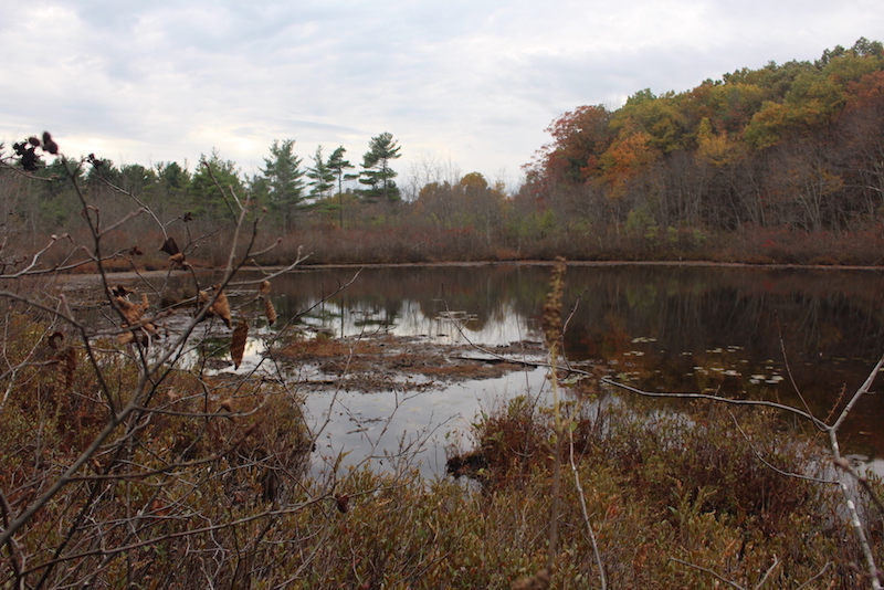
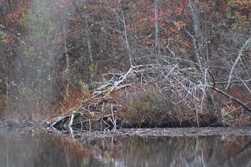
Description: The main attraction is the kettle hole bog, which hosts carnivorous plants such as pitcher plants and sundew. The hike into the bog is over wooded ledge. This area was purchased by the town in 1980. The pond provides valuable wildlife habitat (beavers, heron and ducks frequent the open water) while the surrounding bog mat is home to unusual pitcher and sundew plants. In the Winter months, the craggy ledge of the upland offers a view down the pond. The pond can be accessed from the Philbin Salmon Trail; enter ¼ mile up West Berlin Road from Wattaquadock Hill Road. Follow this well-used cart path, after crossing the grassy area of the condominium development, the path to Welch pond is clearly marked at the trail junction. The approach from the Gould Parking area on Wattaquadock Hill Road involves a steep path down into a small valley and the up again to the trail junction. Please be aware that many of the trails cross easements and please respect those residents who call Sunset Ridge home.