14 Wilder Farm
For a high resolution PDF map:
Size: 11 Acres
Access and parking: On Main Street near at a bend in the road. Use GPS address 1000 Main Street Bolton. Or via the trail easement parallel to the shared driveway on Wilder Road. Access is also possible from Forbush Mil Roas using the sidewalk that leads to the Tadmor development on Goose Pond Path. The Trail to ther Wilder Farm area starts at the cul-de-sac and leads through the Goose Pond Trail area.
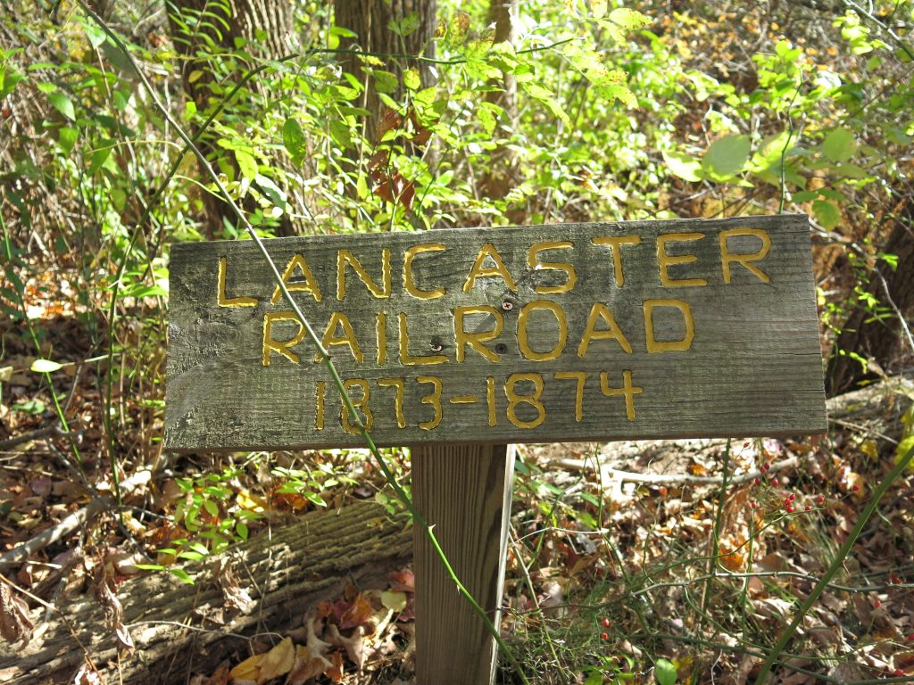
Description: The original 5 acre parcel was purchased by the Town from the Trustees of Reservations in 1991. The property, which contains a small pond and part of an agricultural field, offers excellent opportunities for wildlife viewing, and walking. Access the area from one of the two easements that stem from Route 117 and Wilder Road. Enter the trail on the south side of Route 117 a quarter mile east of Nashoba Regional High School where there is limited parking. The trail crosses a bridge and follows the Lancaster railroad grade running parallel to the fields, a fine fieldstone wall, and out to the pond.
The area was increased in size during 2019 with the addition of the Goose Pond Trail area which leads from the Pond to the Tadmor Housing development.