Bolton Trails

The website of Bolton Trails Committee. Maps, routes, paths and events on conservation land in Bolton Massachusetts

Browsing:

Category: Map Updates

North Brook Trail is Now Open

The Bolton Conservation Trust and Bolton Trails Committee proudly announce the opening of a new multi-use passive recreational trail that connects multiple conservation areas, providing residents and visitors with a unique outdoor experience.     The new trail stretches approximately Read more…


Ballville Trails mapped, arrowed and cleared

During the last two years, Trails Committee members Drew Schaubhut, Gordon Taylor, Larry Kunz and Rebecca Bucciaglia assisted by Abbie Maguire, Winslow Green and Betsy Taylor-Kennedy have been working on a new set of trails in the Ballville Road area Read more…


New map display on Annie Moore Kiosk

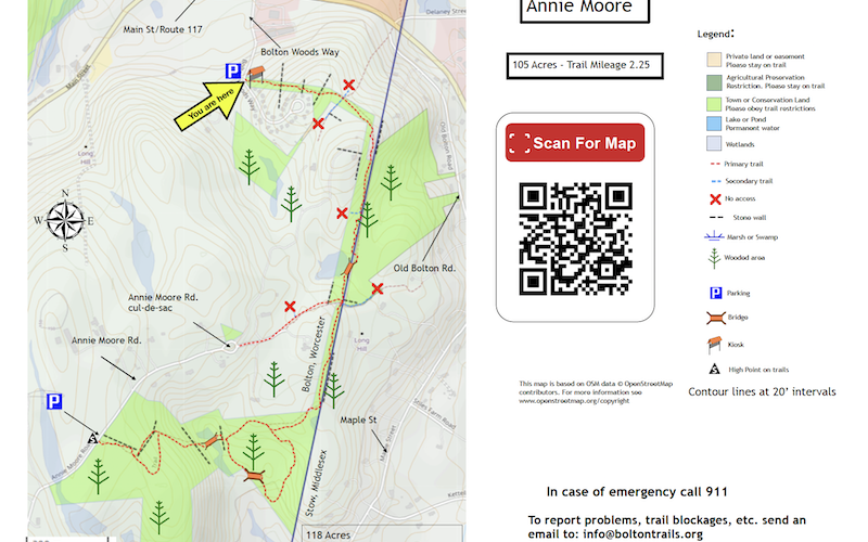
In June 2023, the map for the Annie Moore on Bolton Woods Way has been replaced by Nick Matte and his father, Greg, because it had become de-laminated over the years. It was first installed during Nick’s Eagle Scout project Read more…


Taggart Connection to Sand Road now available

Walkers on the Taggart property will have noticed that that the old railway bed continued on to private land beyond the “End of Trail Sign”. This land is owned by the Vespa family and the trail continues across the area Read more…


New Connection to Rattlesnake and Philips Trails

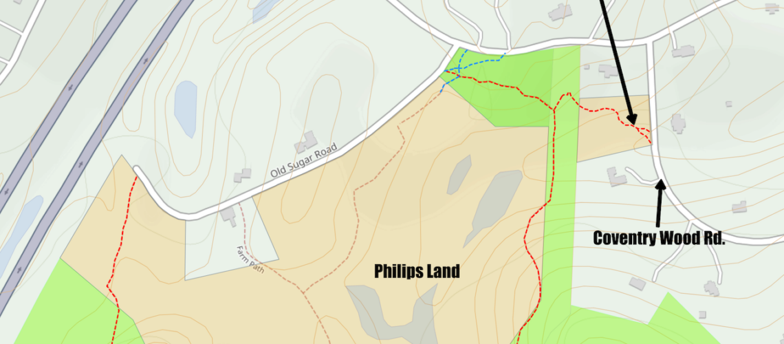
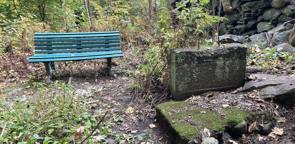
The Bolton Conservation Trust has worked with a landowner on Coventry Wood Road to set up a new path into the Rattlesnake property called the Merrill Connector. There is a bench where walkers can take a rest and a poem Read more…


Trails closed at Levison Land in Harvard

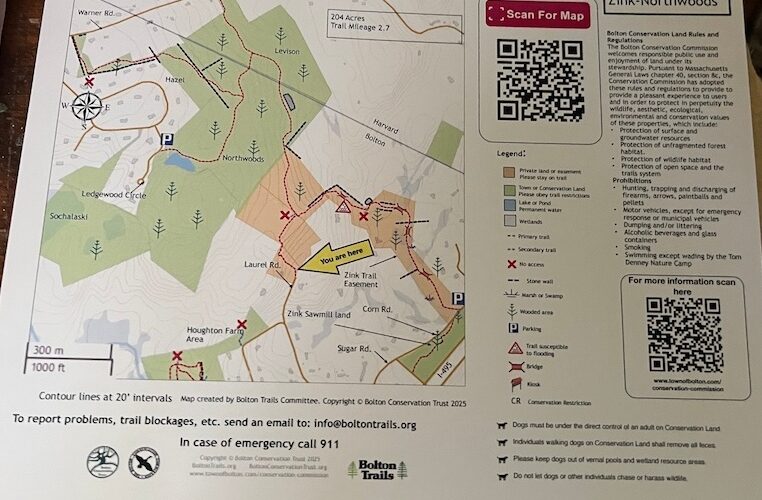
The spur trail off of the Zink-Northwoods trail in Harvard, on land owned and managed by the Harvard Conservation Trust, was closed off in early May 2022.  The trail has been removed from Bolton Trails Committee maps (https://boltontrails.org/map5 and https://boltontrails.org/wp-content/uploads/2022/05/Town-Wide-trail-map-May-2022.png) Read more…


More posts and Trail Maps installed

On Saturday 6 November 2021, two teams assembled at the Town Common and they organized themselves to install trail maps at Wilder Farm, Danforth Brook and Welch Pond. Emily Hatch, Cynthia Ayottte, Brad Ayotte and Winslow Green tackled the sign Read more…


Taggart Map now available online

Bolton’s latest conservation area has now been mapped and this is available online. On 25 October 2021 Gordon Taylor released this latest addition to Boltontrails.org. It’s number 17 in the series of maps. It can be accessed via the usual Read more…


More Maps on Posts installed at Trail Junctions

On Saturday 23 October 2021, two teams set out from the Town Common parking area to install wooden posts on which maps with “You are Here” markers were displayed. These maps will help new trail users find their way around Read more…


New Trail Head Maps and Posts Installed

Larry, Bob and Alice plus Gordon installed maps on posts at Gould-White (On Randall Road), Vinger-Venable (on Berlin Road), and Danforth Lane (at the cul-de-sac).