19 Derby Field and the Horse Ring Trails
For a high resolution map click here:
Size: 98 Acres
Access: From Main Street on the area next to Town Field (also known at the Lacrosse Field), start at the gate limiting access for motorized vehicles. Follow the track and turn right at the arrow on a tree. Coordinates 42.430206, -71.597085
From Wattaquadock Hill Road. Park at Memorial Field walk along Berlin Road a short distance. The trail head is on the left coordinates 42.429240, -71.612148.
Parking:
Town Field access track. Many cars. Coordinates 42.430786, -71.597321.
Memorial Field. Many cars. Coordinates 42.4319147,-71.612405
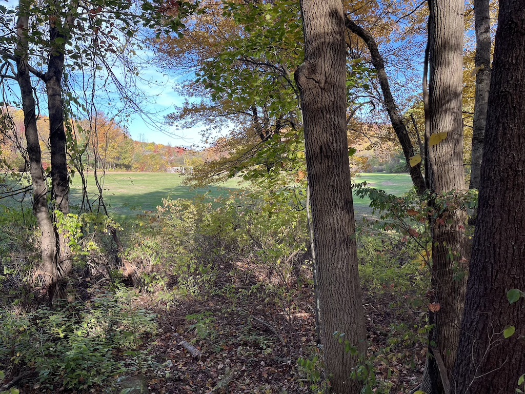
Description: The Derby Purchase included 52 acres that were taken by the town using eminent domain at a special town meeting in 1970. John H and Emily P Derby were given $63,000 according to the deed. The Emerson School (originally built 1923) and The Florence Sawyer School (built 1996) are located in the area which includes the “Sunk Meadow” wetland. It has been named on USGS maps since 1943.
William Sawyer (1679-1741) owned a large farm in this part of Town and The Historical Commission believes that they located the building foundation in 2007 about 4 feet below the surface using ground penetrating radar. Starting in 1874, The Bolton Fair held its annual agricultural event on much of this land until 2004, when it was moved to the Bolton Fairgrounds in Lancaster. The Derby Field is likely to
be the location of the original Sawyer homestead. The Horse Ring Field, located to its east, is lower in elevation due to the excavation of gravel for use in construction of I-495.