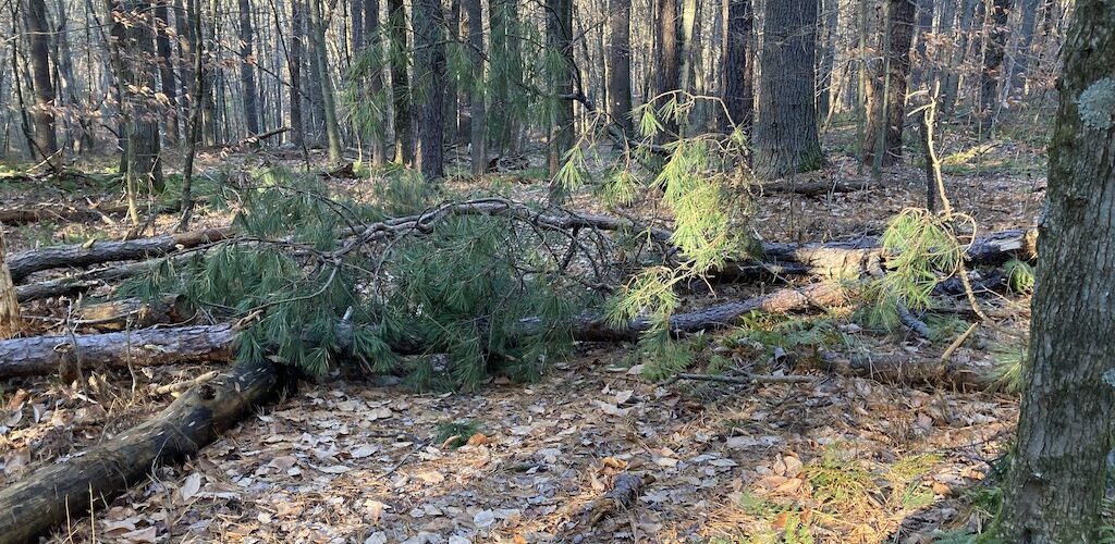
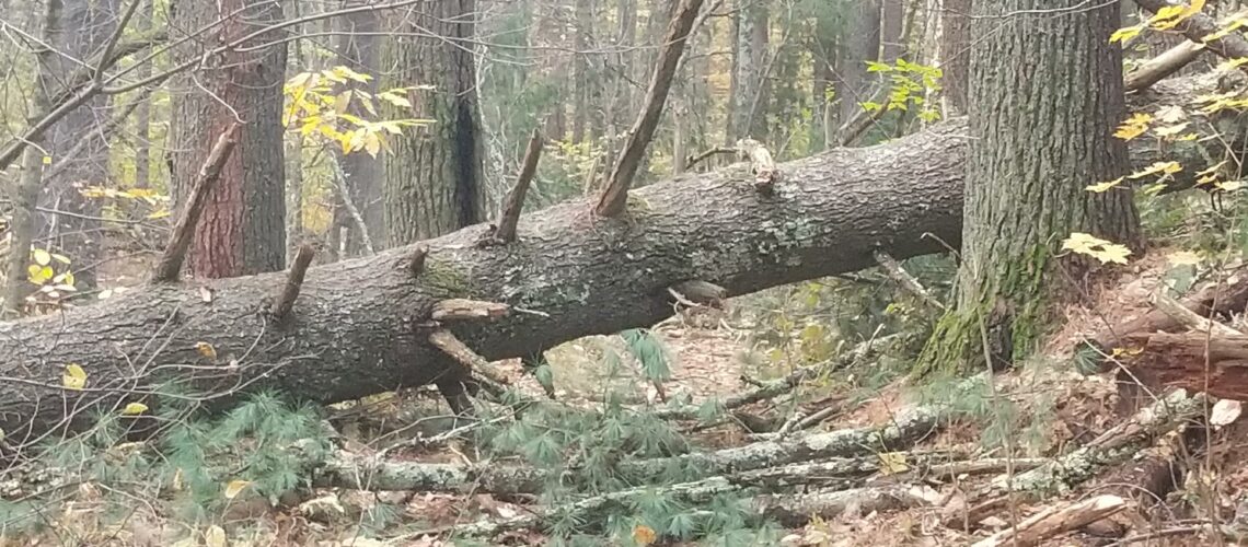
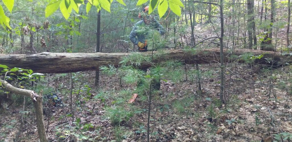
Bolton Trails

The website of Bolton Trails Committee. Maps, routes, paths and events on conservation land in Bolton Massachusetts

Browsing:

Category: Bolton Conservation Commission Work

Fallen Trees cleared at Vinger-Venable and Rocky Dundee

On Monday May 10 and Thursday May 13 Betsy and Gordon cleared blockages on the trail from Randall Road to Berlin Road through the Rocky Dundee and Vinger-Venable area (Map 10). These trees had been blown down in the recent Read more…


Blocked Trails cleared at Powder House Hill and the Old Town Road

On Monday May 10, Larry, Betsy and Gordon cleared a big tree that had fallen and blocked the Powder House Trail shortly before it dropped down to the wetlands on the section leading to Quail Run Road. Later, they cleared Read more…


New Trail Head Maps and Posts Installed

Larry, Bob and Alice plus Gordon installed maps on posts at Gould-White (On Randall Road), Vinger-Venable (on Berlin Road), and Danforth Lane (at the cul-de-sac).


47 MPH gust brings a tree down near Lime Kiln

Bob and Alice Roemer cleared this blow down caused  by the winds in late April/Early May 2021.


Maps installed at more locations in Rattlesnake

Bob and Alice installed the remaining 3 11×17 signs at trail heads in the Rattlesnake and adjoining areas, specifically at TH1A, TH2 and TH3.  The owner of the land where TH1A is located at Harris Farms is concerned because trail Read more…


Bridges Fixed at Annie Moore

Greg repaired some broken boards on the long bridge through the swamp at Annie Moore.  However the underlying wood is rotting and needs to be replaced. The Trails Committee will add this to their project list.  


Self Guided Tours of Fyfeshire and Haynes-Wheeler

On Monday 19 April 2021, Gordon and Betsy installed the QR codes for the three self-guided tours of the Fyfeshire and Haynes-Wheeler properties. Three self-guided tour routes start at the Wattaquadock Hill Road entrance and are marked with QR codes Read more…


More Trail Head Maps Installed

The team of Bob Roemer, Rebecca Longvall and Gordon Taylor has made a lot of maps for installation at various trail heads. The maps were made by Gordon, the encapsulation and site identification were done by Rebecca, and the wooden Read more…


New Story at Fyfeshire Upper Pond

The Town Library and Conservation Commission have continued their tradition of story boards at the Fyfeshire Upper Pond. The new one is called the “Water Protectors” and it can be read by walking around the Upper Pond.


Downed Trees Cleared at Rattlesnake

Two trees have fallen recently. One near the Whitcomb quarry and another near junction 2E on the Boulder Trail in the vicinity of Rattlesnake Hill (Map 6 in the guidebook and online). Bob and Alice Roemer responded quickly and the Read more…