Bolton Trails

The website of Bolton Trails Committee. Maps, routes, paths and events on conservation land in Bolton Massachusetts

Blocked Trails Cleared at Danforth Brook

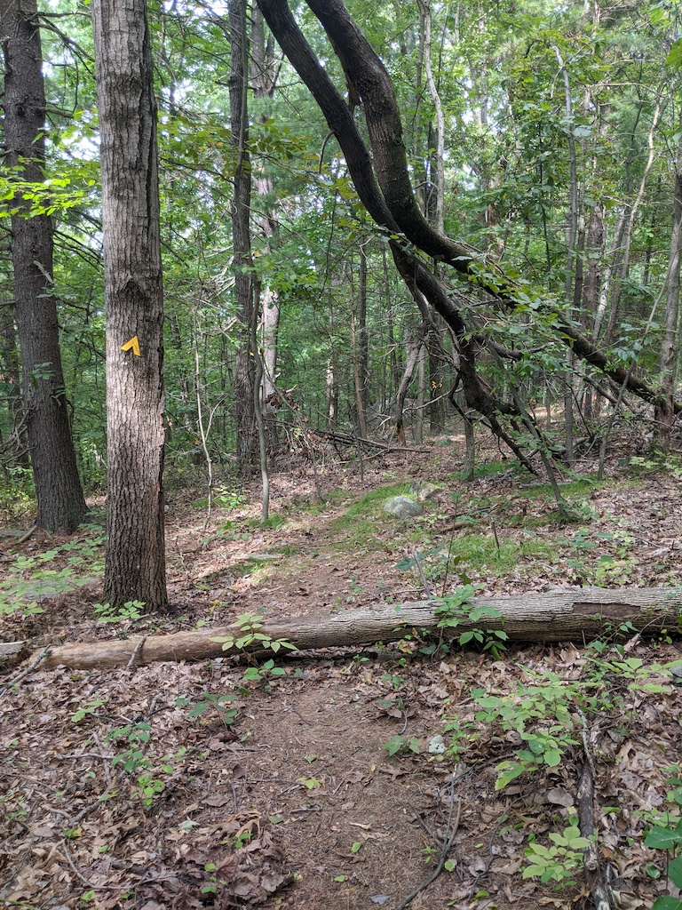
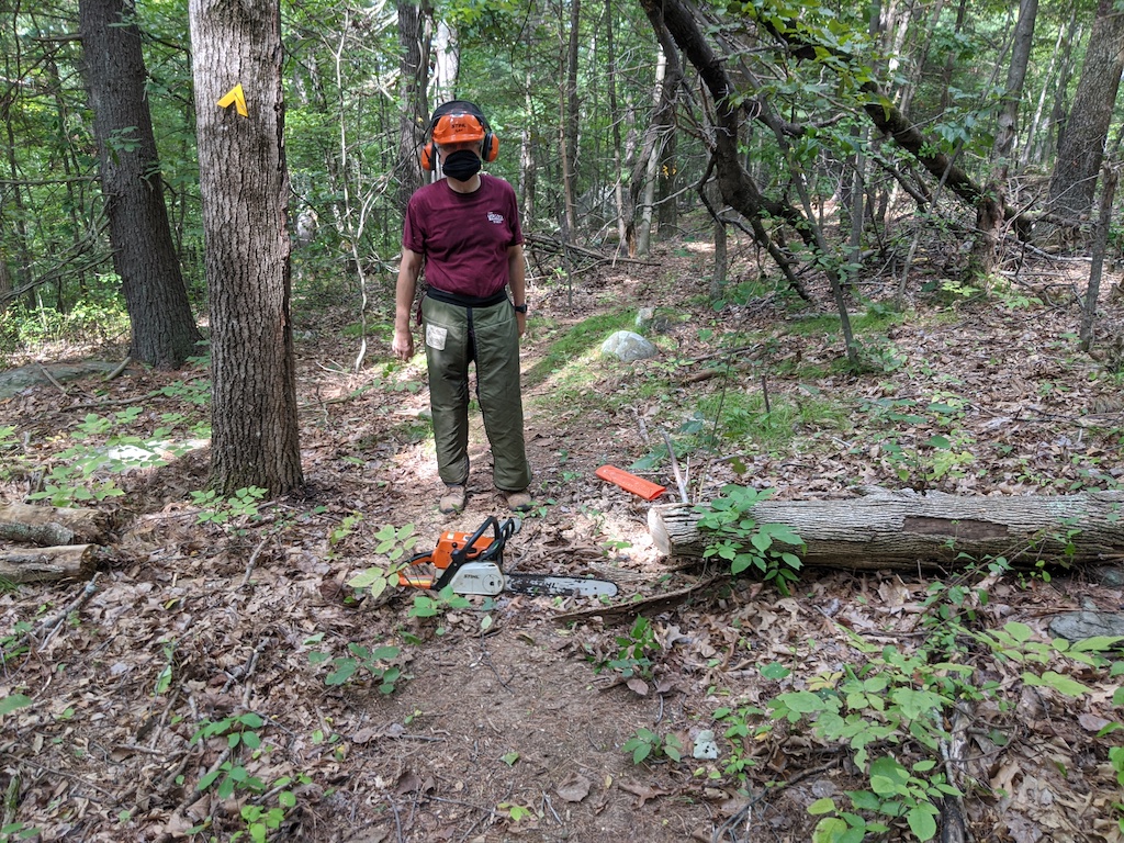
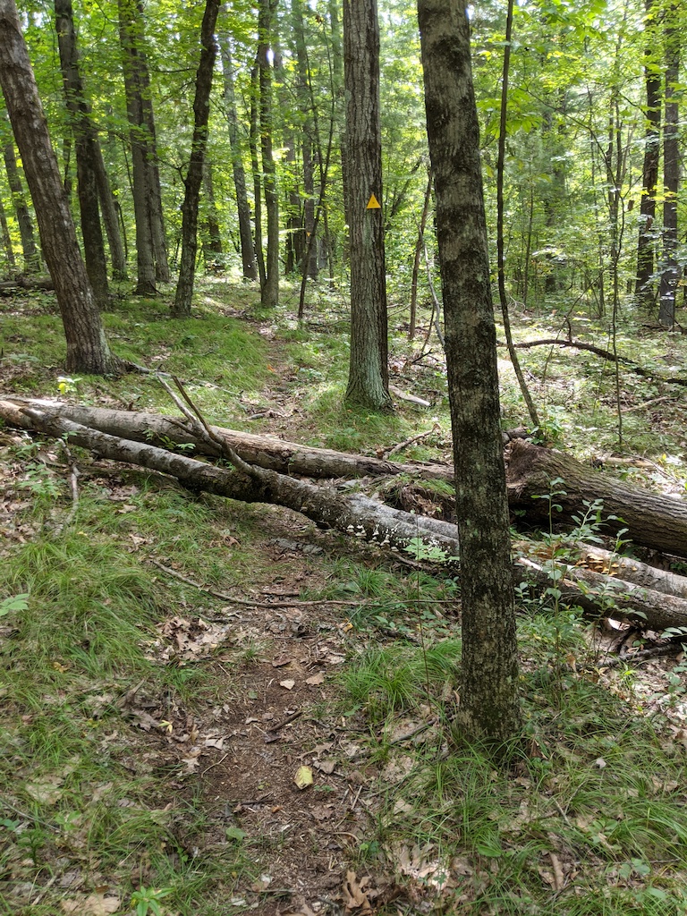
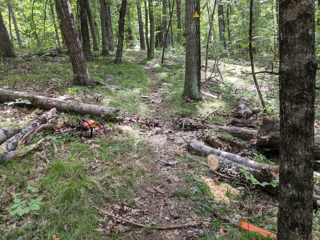
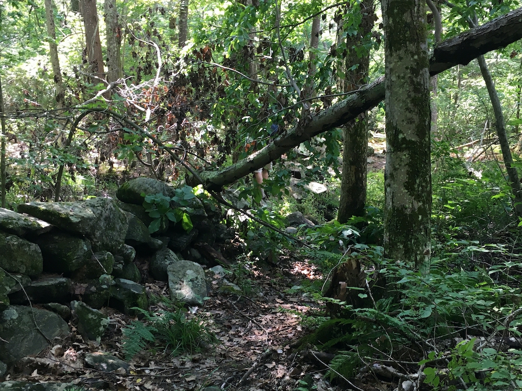
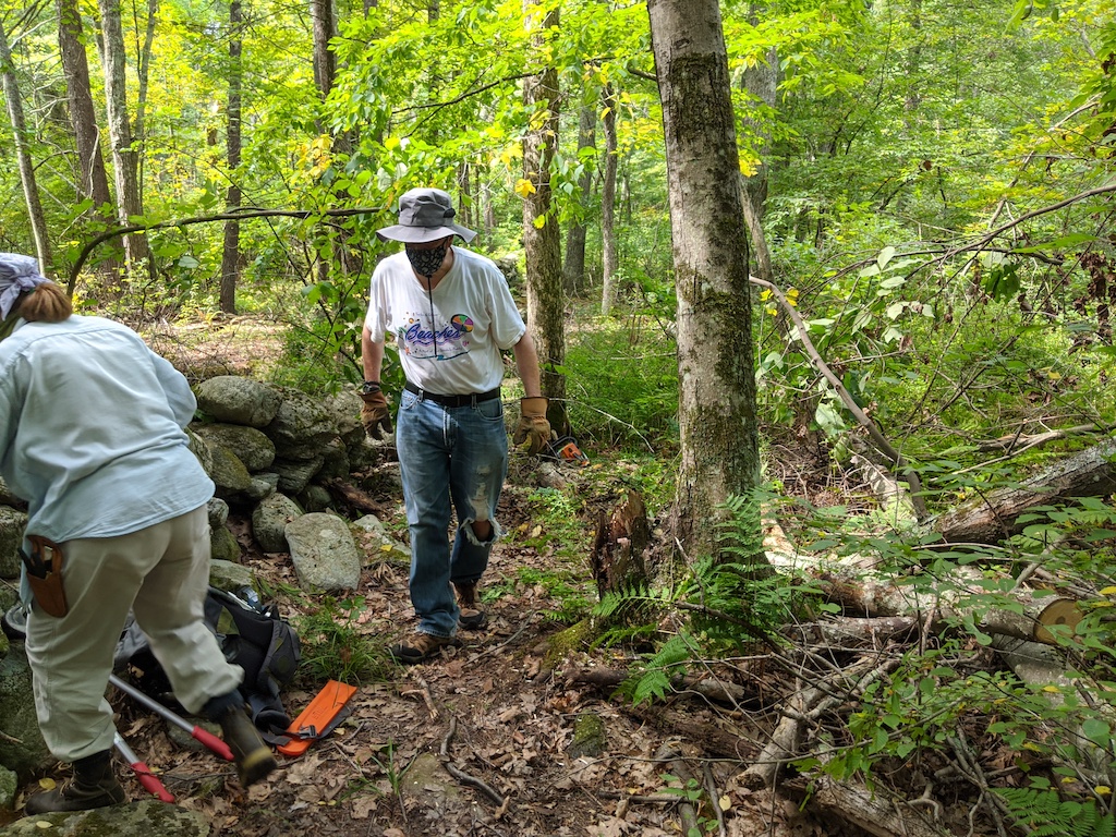
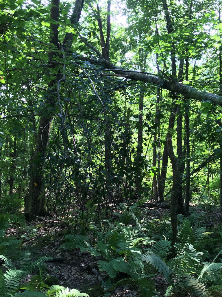
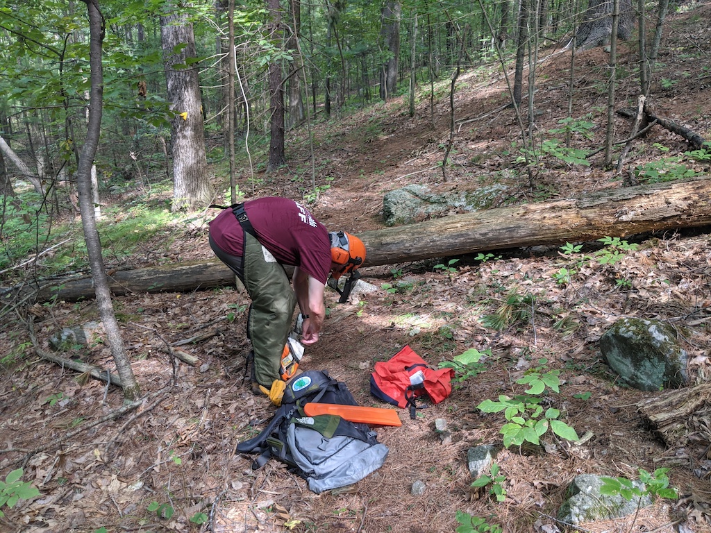
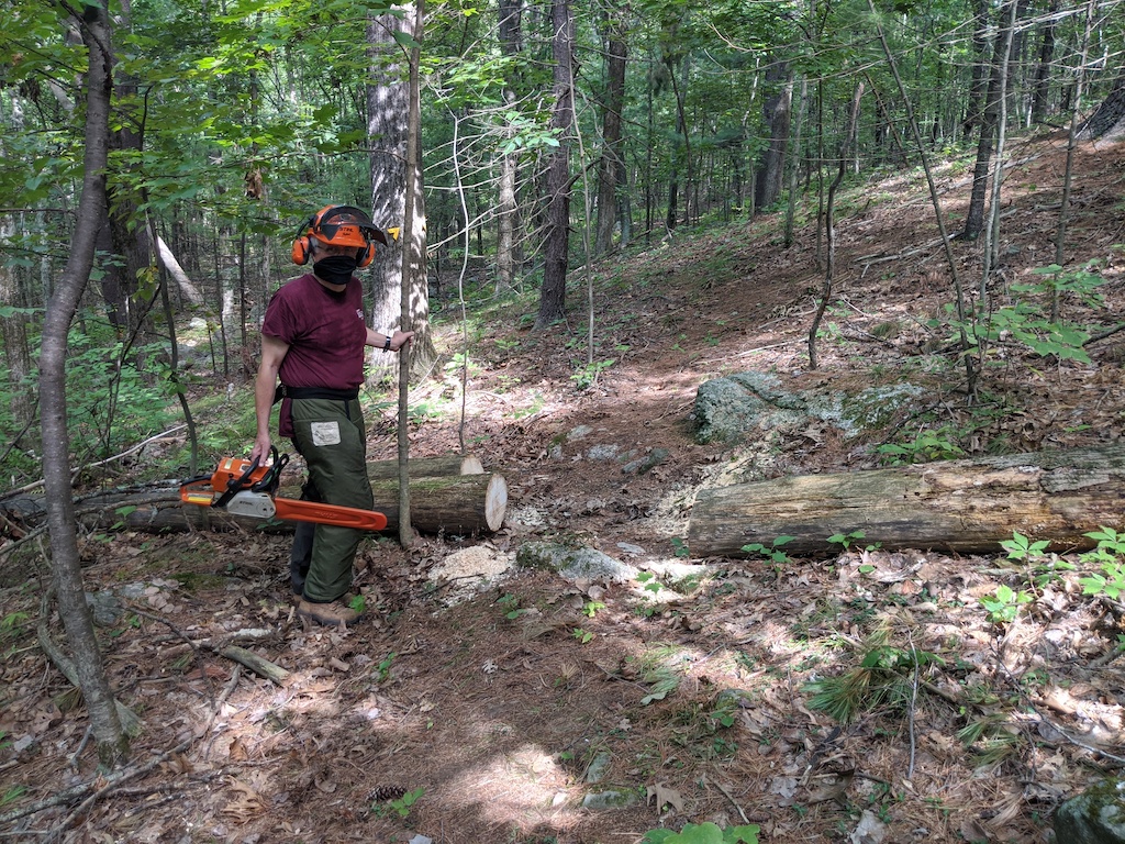
On Wednesday September 9 a team of Steve Rothman, Larry Kunz, Betsy Taylor-Kennedy and Gordon Taylor got together for a socially distanced and masked effort to clear trails at the Danforth Brook area where recent storms had brought down several trees and blocked paths. They also started an exercise to identify the true summit of Barretts Hill so that it can be marked with a sign and possibly trail markings from the current paths that lead from the gas pipeline to the summit plateau.

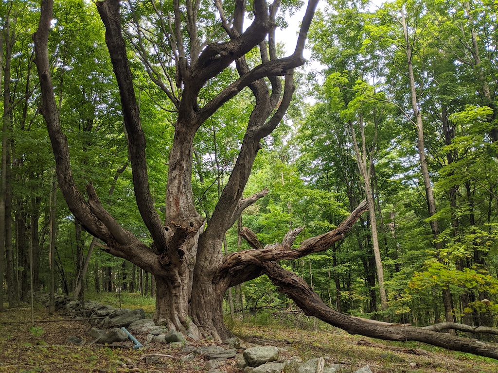
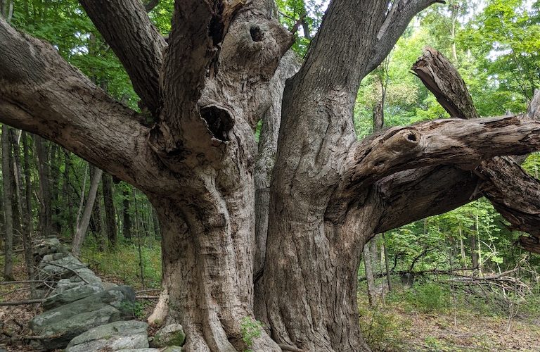
Everybody was impressed by the splendid “wolf tree” that was obviously an historic boundary marker from many years ago.

Here are some before and after pictures:

This tree is close to the pond near the start of the trail. The team cleared many of the branches that were hanging down and obstructing the path.
This tree was blocking the northern (steeper) ascent to Barretts Hill
Gordon cleared the path.

The team spent several minutes looking at the summit plateau and using GPS to locate the true summit at 460′. Another visit will be needed with several GPS devices to identify the best place to install the marker.


Everybody admired this old wolf tree.
Another blockage, this time on the southern and more gentle path to Barretts Hill.
After clearance. The team chose to leave the larger broken limb as it looks secure for the time being and extra equipment might be needed.
Two limbs blocking the path that parallels Danforth Brook
After clearance
A tree had fallen just before the “walk on the wall” section of the path over the brook and wetlands to the cul-de-sac.
Steve and Betsy picking up the limbs after clearing the blockage.

Leave a Reply

Your email address will not be published. Required fields are marked *